The last hike of my time in Utah! 52 Hike Challenge Hike #32 was a big one – hiking in Alta first to Cecret Lake, then up towards Sugarloaf Peak. The most challenging of my entire year-long challenge and wish I could do it again!
Cecret Lake
Pronounced like “secret.” It’s not much of one. I had heard that this place was popular and even on a weekday this place was hoppin’. I still like my nature time quiet and with as few people as possible, but it is cool to see other people out enjoying the outdoors. The water looks inviting, but since it’s used for Salt Lake City drinking water supplied by snow melt, there is no swimming allowed. Bummer.
Sugarloaf Peak
Sugarloaf Mountain, in the Wasatch Range, tops out just over 11,000 feet and is the easiest way to bag a Utah 11’er. From Cecret Lake there are two trails up to this summit, a foot path and a service road. This mountain is the site of the Snowbird and Alta ski resorts in the winter.
The Cecret Lake Trail
Just getting to the trail head can be an adventure, as it requires traveling up a steep, unpaved road (that is doable in any regular vehicle). However, the trail head isn’t difficult to find. The well-marked road will lead you to a parking area for the Albion Basin campground. You pick up the Cecret Lake trail just next to this camping area.
The hike to Cecret Lake is considered easy, but steadily heading up. Flora and Fauna are everywhere along this hike. Along this section of trail I saw a few wildflowers, signs of moose (scat!) and a hoary marmot sunbathing on a giant rock. Tall, stately conifers surround the area and far off peaks provide even more scenery.
Even though I hit the trail early there were already quite a few folks at the popular lake. I found a rock to call my own and hung out for a bit, enjoying the nice weather and having a snack. After watching some salamanders swim for a bit I decided to head up toward the summit.
The Sugarloaf Peak Trail
While not considered especially difficult, Sugarloaf Peak did challenge me in one way. My lungs. At this point along the trail I’m huffing and puffing at around 10,000 feet and my lungs are burning. The trail becomes much steeper beyond Cecret Lake and the incline plus thinner air did a doozy on my respiratory system. However, I’ve come to enjoy the challenge of a lung-burning climb and enjoyed this one immensely.
I chose to hike up the service road since I was alone and it seemed less likely I’d get lost this way. Some sections of the gravel road were quite steep, creating a footing challenge on the sliding rock. I forgot hiking poles that day. Lesson learned.
Much of this hike travels under ski lifts. I find it oddly satisfying to walk up a mountain that many use a machine to climb. On this day, one of the lifts was running, perhaps for maintenance, and it was actually quite creepy. An empty lift with no operator in sight, varying speed out in the wilderness. It was like a lift for lazy ghosts.
I didn’t see many animals along this section of trail except a surprise encounter with another marmot and a few birds. As the trail steadily gained elevation, I could really only travel a couple dozen steps before having to take a rest. I didn’t see another hiker, just a noisy construction crew on the way up.
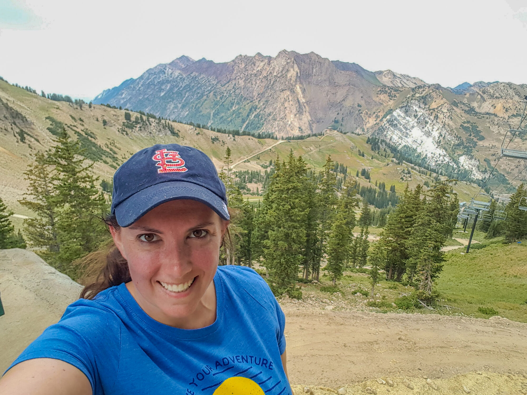
I reached the ski lift and took a selfie break. Unfortunately this also became my turn around point, as I realized my cell phone was rapidly losing power. Since I hadn’t seen any other hikers I didn’t want to scramble rocks at 11,000 feet with no way to call for help. So, sadly, I headed back down. Safety first, especially when hiking solo.
The Return
The return hike was uneventful, except for passing one other solo hiker heading up. He had the brains to bring poles and I was very jealous of his ability to keep his balance on shifting rock. I also felt better about my struggle up the peak, watching him stop about as often as I had. My phone died entirely about 5 minutes before reaching my car in the parking lot.
I would absolutely hike this trail again, hopefully hitting the summit with a fully charged phone and hiking buddy! Have you ever hiked this trail or another huge peak in Utah? Tell me about your favorite ‘high’ hike in the comments!


